Many anglers “beat the bank” because they have more confidence targeting visible cover. But the fish in those areas get pounded, making them harder to catch. With a C-MAP Genesis Edge bottom-hardness map, however, you can fish the bottom as confidently as you do the bank, targeting offshore structure like hard-to-soft-bottom transitions and the fish-holding sweet spots on humps, reefs, and shoals, etc. This article will teach you how.
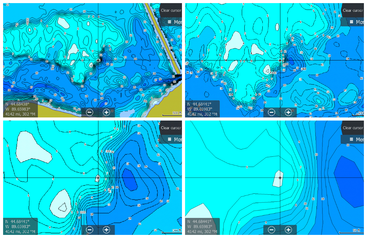
Although it’s a great fish-finding tool, StructureScan alone can’t really show you the size and shape of hard-bottom areas like gravel patches, clay slicks and shellbeds. But C-MAP’s Genesis Edge bottom-hardness layer makes such areas stick out like “Fish Here!” signs on your map. It overlays onto your contour lines a color-coded representation* of the size, shape and location of areas of different bottom hardness: dark orange areas show the hardest bottom; a lighter orange indicates the next-hardest bottom; tan is the next-hardest bottom; and pale yellow shows the softest-bottom areas.
Previously, bottom-hardness layers were available only for waterbodies you map yourself. But with a Genesis Edge subscription, you can now get them for hundreds of select waterbodies available for download from Social Map. Continue reading “How to create and use a C-MAP Genesis Edge bottom-hardness map layer to catch more and bigger fish”