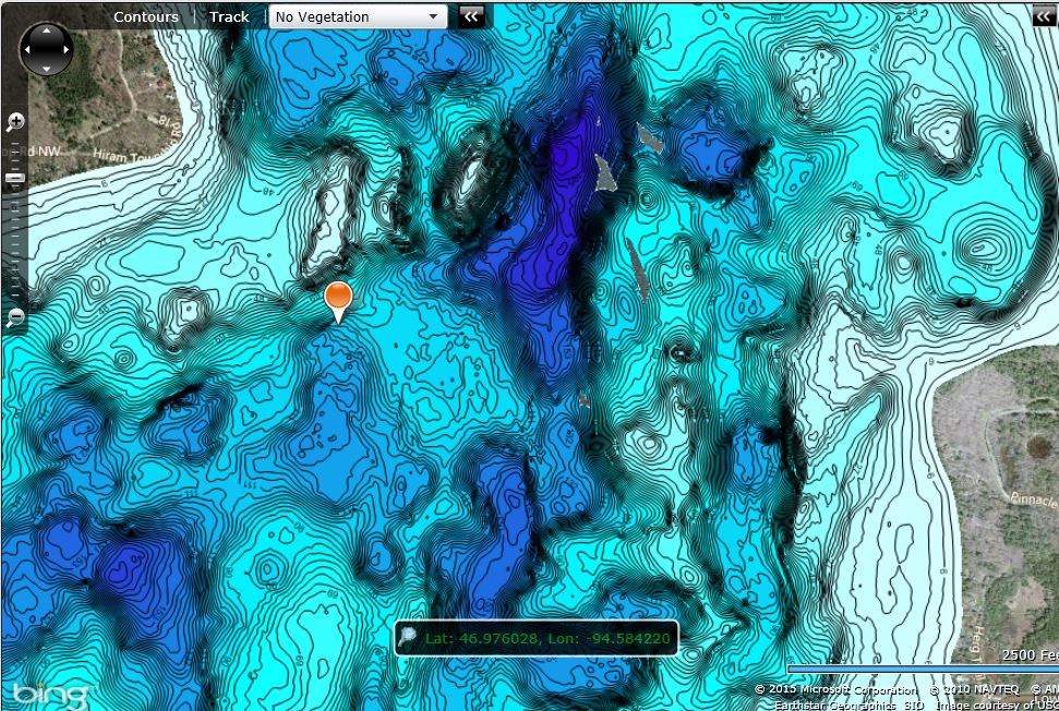
Can you guess how many trips went into making this extremely detailed Insight Genesis map! Each red line represents a path taken across the lake.
Bruce Carlson and friends uploaded 224 individual trips on Minnesota’s Ten Mile Lake (Cass County) over two springs and summers (2013-2014) to create a custom contour map. You don’t have to make that many individual trips to create a comprehensive custom contour map of your favorite lake, but if you do, the level of detail you can achieve is practically mind-boggling. Check this out:
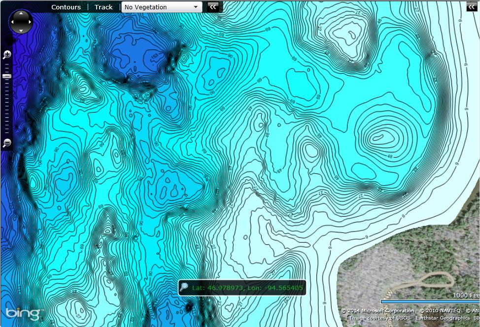
And here’s a tighter zoom:
Amazing detail!
To familiarize yourself with the best practices for creating highly detailed custom Insight Genesis maps, read this blog article: BEST SETTINGS FOR INSIGHT GENESIS.


